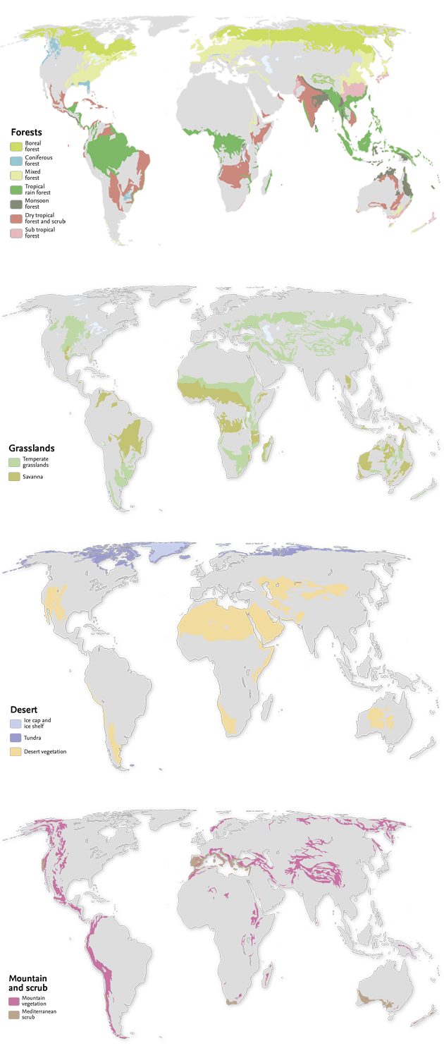
Land cover
Our life on Earth is closely tied into the vegetation and ground cover that surround us. Forests provide us with oxygen and building materials, rivers and lakes yield fresh water to drink, and cities shelter us. Our health, economy, and environment can all be affected when land covers change.
For years scientists across the world have been mapping these changes in the landscape and while land cover can be observed on the ground or by airplane, the most efficient way to map it is from space.
By using such imaging satellites as Landsat 5, Landsat 7 and Terra, scientists have the ability to observe large tracts of the Earth's surface in a fraction of the time needed to complete aerial or ground surveys.